|
| Heading to Balaklava and points north and east, you're in grain country now. These silos loom over Balaklava. |
 |
Snowtown ... Alaskan Dave was enchanted by the name! In fact, the town's greatest claim to fame is a
rather gruesome murder! We'll visit Snowtown in a later post, but for now -- |
 |
| As the sign says, 'Welcome to Balaklava!' And the barley icon tells all... |
 |
| Balaklava is a town that seems to have been there forever. It's steeped in colonial history... |
 |
So many original buildings survive, not as ruins and museums, but as homes --
and they're being refurbished. Like this old, old house, tricked out with solar panels. |
 |
| Main street, Balaklava. If it happens, this is where it happens. |
 |
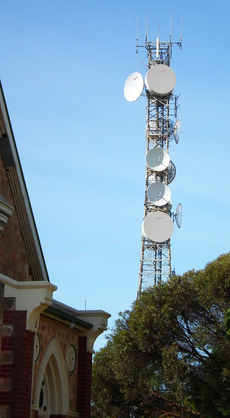
| Modern tech stands cheek-by jowl with history... |
 |
| ...and the grain silos loom over the whole town. They're marked up with the Viterra logo. |
 |
| No prizes will be awarded for guessing the local industry in Balaklava, South Australia! |
 |
| Lovely colonial architecture -- the Uniting Church, well refurbished, and a couple of hundred meters away -- |
 |
| Some of the biggest silos you can imagine. They're huge, dwarfing nearby houses and shops. |
 |
| Just outside Balaklava, we noticed an unusual memorial -- for young cyclist Shamus Liptrot... |
 |
| ...and read an inspiring story of courage and determination. |
 |
| Learn a little more about the town and region, before hitting the road... |
 |
| Well, now -- bush races! Now, there's a thought... |
 |
| Back on the road, leaving Balaklava now... |
 |
| ..and where the industry isn't barley or wheat, it's hay -- stock feed. |
 |
| Auburn would take us back to Clare ... we're headed for Port Wakefield now... |
 |
| ...through some of the busiest agricultural country in the state's mid-north. |
 |
| Port Wakefield -- actually, the Wakefield River which runs behind the town. |
 |
| The landscape is flat, and around the river, so marshy, you suspect routine winter floods... |
 |
Look away from the river (NW, in this case), and the scene is arid, so typically Australian
you could be looking at a location from Boney. |
 |
| Those hills in the background are where we're going next ... around the top of the Gulf St. Vincent... |
 |
Does this road go anywhere? If we'd been in a 4x4, we might have explored. It probably goes to a good
fishing spot, but Lola's a Mitsubishi Magna with too much sense to head off over this. |
 |
The road here is rougher than it looks. Aussie road signs read in K's, not miles, remember.
This one is setting a limit of something like 6mph. |
 |
If you view this at full size, in the middle distance, beyond the marshy bushes, you can see the sea...
that's it -- the very, very top of the Gulf St. Vincent, with Yorke Peninsula beyond. Cool. |
 |
Getting out of Dodge again. Port Wakefield is something of a truckstop, though there's a fairly
large town there now. And a very neat caravan park on the river! |
 |
| Learn a little more about Port Wakefield before we head on out -- |
 |
| A piece of history in the parking lot at the absolute top of the gulf, where the roads go in all four directions... |
 |
| A great little story from the National Trust. But someone needs to proofread these signs!! |
 |
Lola looking sharp in the aforementioned parking lot, with the metal-sculpture emu, and in the background...
Dang, we stayed too long. See the house on the low-loader, on the south-bound road? |
 |
So we decide to take another way through to Yorke Peninsula, and we put ourselves
on the Copper Coast Highway. Headed west and south to points unknown... |
 |
| The Copper Coast Highway. Tolkien said it: the road goes ever on. And on. And on... |
Friday, it was time to head west to the other end of the copper mining industry that was one of the forces that opened up the state of South Australia. The day before, we'd seen the actual mines and smelter chimneys at
Burra, where the ore was cut out of the ground ... we'd spend about 47 seconds in
Mintaro (like the man said in the movie, we'd be back), which was built originally as a halfway-house, or roadhouse, for the "bullockies," the guys driving the massive bullock wagons taking the ore over to the ports on the gulf. Okay -- now it was time to go check out those ports.
The drive takes you into grain country ... barley and wheat. You start to see the silos by the time you get to Balaklava -- which was also time to get some breakfast. We'd left our base at the Clare Valley Motel early, with the idea of going as far as possible before we ran out of daylight. This late in autumn, or fall, and after daylight saving has finished, you lose the daylight by about 6:30, and it's too dark to take good photos after about 5:00. So we got on the road early, with the idea of finding brekkie in Balakava...

And we found a place that looks like a convenience store from the outside, or even a tobacconist, but in fact it's something very like a truckstop, with great food, double-size coffees, and everything a truckie could need before blasting through for any point on the compass. For Dave, a big bacon and egg sandwich with onion rings on the side; for Jade, a great ham and cheese croissant, toasted; and some of the best coffee we'd found on this trip! For some reason, we didn't get a photo of the place. (Why not? 'Tis a mystery! Neither of us thought of it. Doah.) So this image was captured from Google Earth, to fill the gap.
Leaving Balaklava, we pointed ourselves at Port Wakefield, which is at the head of the Gulf St. Vincent. In one of the images, above, you can see the marshy salt bushes on this side, then the narrow strip of sea, and the hills on the York Peninsula, on the other side. Port Wakefield is more of a giant truckstop than a town (all gas stations and dealerships), but it has a cool caravan park on the Wakefield River. We only stopped for twenty minutes or so ... long enough to get some photos ... and then the plan was, we'd head directly down the coast road on the other side of the gulf, and be in Ardrossan in something like 30-40 minutes. Right? Right. Uh huh.
So we stopped, first, at the huge, truck-sized parking lot at the top of the gulf, to photograph the immense, flat landscape and read the history of the region on the information boards, and see the metal sculpture kangaroo and emu (which, incidentally, for our American rellies and mates, is pronouced "eem-you,"
not, repeat
not "ee-moo"), and the stump-jump plow. And we stuck around about half a minute too long...
If you view the picture of the car (read: Lola) at full size, you can see, on the road in the background, a transportable house being shipped on the back of a low-loader, with police escort. In the next ten seconds, two cars and a huge truck tagged onto the end of the convoy. We figured we'd be going to Ardrossan at 40kph, so --
Change of plans. We decided to take the long way around. Head out on the Copper Coast Highway, hang a left and blast down the very middle of Yorke Peninsula, check out the beautiful grain port of Ardrossan, and then head back up to the old ore shipping ports of Wallaroo and Moonta and so on.
Tomorrow: Yorke Peninsula, red cliffs, green seas and a
humongous jetty ... Adrossan and Moonta.