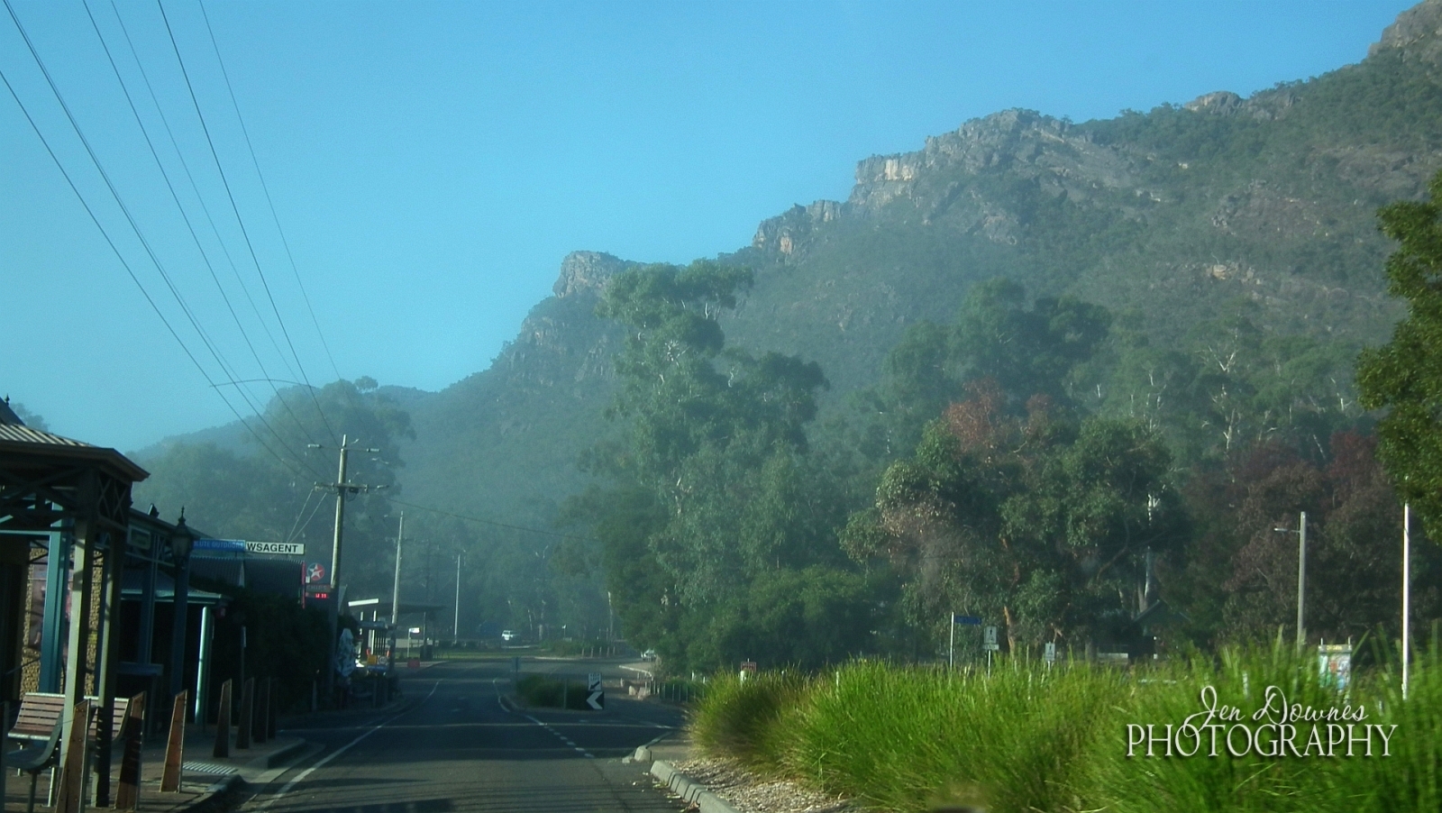
The trip all started with a stack of baggage ... you'd have thought we were off to Antarctica for six months! No ... "just" the Grampians for five days:

Getting out early, you cross the Murray River at Wellington...

...and you aim for breakfast in Keith, on the Duke's Highway, only to discover that it's actually lunch by the time you get there! So --

-- the Henry + Rose Cafe, very nice, with good food. The weather was steadily going downhill as we headed east, though, but the sun still shone in patches, between broad cloud banks:

The state line is right there. Welcome to Victoria ... and slow down. The speed limit is lower, east of the border. So -- onward, through little towns and agricultural communities...

Above: canola fields near Kanvia. The Duke's Highway turns into the Western Highway at the border, but we always think of it as "east," not west! This time around, we left the main E-W highway at Nhill, turning south to take a look at the Little Desert National Park --

-- which, to South Aussie eyes doesn't actually look like a desert at all. Maybe it's seasonal? So much of SA looks like this pretty much all the time, one is reluctant to call it a desert. Then, it's not so far from there to the beautiful Wartook Valley. And whaddaya know --

Above: A rainbow over Wartook Valley. Now, that bodes well. You see the Grampians low down on the horizon from the valley. While Dave stretched the legs I played with the phone, and managed to get a selfie where I didn't look like Marley's Ghost:

There you are -- that proves I was on the trip! Dave did take a few shots of me here and there, and I managed to get several of him. He likes to play around, so pictures of him are often something of a laugh riot. And why not?
You don't have time to tarry long on breaks ... not if you want to get there on the same day! Apparently, you can drive Adelaide to Halls Gap in six hours, but we usually take nine or ten over it. Then again, we always get there safely, without being totally wasted. So.
When you head into the National Park, all at once the road turns UP, and twists and twines constantly for about the next 30k. Glorious views from the roadside as evening settles --

Above: Lake Wartook, the reservoir, seen from Reid's Lookout. It was actually quite dark by now; enhancement on the image brightens it up. It had also been raining recently...

Halls Gap was quite damp as well as quite dark. (And you can see what I mean about the weather. When it didn't actually rain, the sky was deeply overcast. Mostly, I put away the camera and just sat back for the trip!)
Time to check in, unload, get dinner, sleep. We were booked into the Halls Gap Log Cabins:


Wonderful ... all the comforts of home. Each cabin is like a small house, with every amenity imaginable, with the exception of a washer and dryer. And who wants to do laundry on trip?!

Above: Rainy, misty and COLD in the morning. Luckily, we'd got brilliant pictures back in March, because the images from Cathedral Rock (seen here off the Mount William road) are gray and soft. Rain was threatening, and the wind cut like a knife. The cold abated a little by the time we arrived at Sundial Lookout and took the Lake View Lookout trail:


Still not warm, but not so windy, and the mist was clearing. I crossed my fingers, hoping to get good photos as the say went on. So, leaving Sundial, we headed to Silver Band Falls, which is a good hike down into a gorge to reach this:

Not a heck of a lot of water in it, when you consider that this is the end of the rainy season, and it should be running hard and fast. Hmm. So -- back on the road. Below, top: Mount Zero Road. Center: Canola fields in Wartook Valley, looking toward the Grampians. Bottom: Sunset from Reid Lookout. It wasn't spectacular at all ... too much heavy weather.


Next morning we spent a couple of hours at the Brambuk Cultural Centre, which is a chastening experience. One is rocked back by the history of this country's indigenous people. I find it astonishing that any of them survived at all, and ... so sad. One could wish for a time machine, go back and change it, find the people responsible, and stop them ever arriving in Australia...


From Brambuk, we headed outward to explore. Lunch found us on the freezing, wind-swept heights of One Tree Hill above the town of Ararat. Yes, we visited Mount Ararat earlier; I photographed that with the cameras, not this phone. It's not what you'd call ... spectacular, but we did it! However, the views from the top of One Tree were amazing:

And from Ararat we headed back around the Grampians in a great circle. The area south of Ararat is big on canola, and the afternoon sun shone, making for some stunning photos at last:


By the time we were south of the Grampians and about to head back up the west side, toward Wartook, we'd run back into gray weather. This is Mt. Sturgeon, near Dunkeld ... the Grampians end (or begin!) right here, on the south tip of the range.

Dunkeld to Cavendish offered some amazing skies. Enhancement on the image here brightens it up, because we're actually almost along to evening now. And --

Yes, Virginia, there is actually a Bunyip Hotel! In Cavendish, in the evening light, before we headed north again up the west side of the mountains...

We'd been hoping to get some great shots of the Grampians in the evening light, but the skies were too heavy, and sunset "didn't happen." Well, it did, for eight seconds, with a few shades of pink. But the drive was lovely, the scenery starkly beautiful.
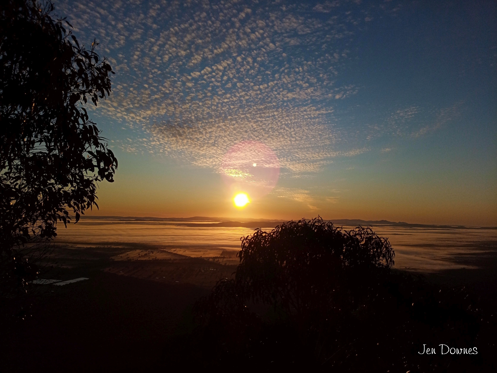

At last! Like magic, the sky cleared for our last day in Halls Gap. We were at Boroka Lookout in the very early morning. Glorious! Then it was off to Mackenzie Falls, where we spent half the time photographing wildflowers, which are at their best at this time of year. Here's a wild orchid --


-- and below, the actual falls, seen from one of the high lookouts. Again, not much water in evidence, which doesn't bode well for summer, I think. We knew of one more waterfall, Beehive Falls, off thr Roses Gap road, so while the sun shone we thought we'd give it a go...


Perfect weather, a wonderful hike, stunning rock formations, wildflowers in profusion ... but the falls was a mere trickle. Nothing there. But the hike itself was a huge pleasure. Good thing, because this was a wrap on our last day in the region! Time to pack and clean out the fridge in the morning.
We'd decided to come home on the Princes Highway, via Naracoorte, and by the time we reached Mount Arapiles the weather was awful. You can drive to the top of Arapile, and the view --

-- is fantastic. But I barely managed to get a shot of the mountain itself, because the light levels were so low. From Arapiles, we headed for the Princes Highway and turned west...

Stretch the legs at Sundial Park in Kingston SE. The road sign, leaving town, tells all. Adelaide is still almost 300k away, via Salt Creek, Meningie, Tailem Bend, Wellington (the ferry), Strathalbyn, and so forth. Below: top: leaving Kingston SE. Center: You're looking at Salt Creek. All of it. Bottom: Meningie. Not stopping -- it's getting late, and there's still a looong way to go:


Over the river, head through Langhorne and turn northwards for Strathalbyn. Mother Nature had one last treat for us:

Sunset, somewhere on the road home, I actually forget where! Somewhere between Langhorne and Strathalbyn?? From here, you'll be home in about seventy-five minutes. Phew! That's another one to cross off the bucket-list! This time, I actually drove for a while, too. Now, where to next ...?!