 |
| The Coorong -- this is where we're headed, from Kingston S.E., and to get there... |
 |
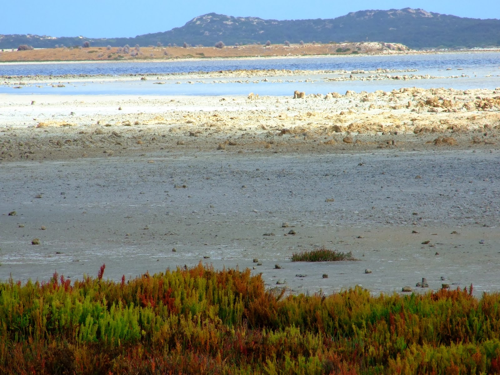
| ... we would drive a looong stretch of the Princess Highway bordered on the inland side by salt flats... |
 |
| ...to the bustling landmark of Salt Creek. It doesn't even show on Google's regional map! |
 |
| Meals, drinks, bait and tackle -- ah! Bathrooms! And -- |
 |
The obligatory (educational; useful) information board: welcome to the Coorong. Dave checks out the map.
The lady in the shot is a traveler, not Jade -- Jade was taking the photos. |
 |
| Opposite the board, t'other side of the road is Salt Creek itself. If only Bool Lagoon had been this wet! |
 |
| A flock of black swans were feeding, under brooding skies -- |
 |
| A lot of enhancement makes this image bright and colorful, which was far from the truth! |
 |
| Just so you know where you are... |
 |
| -- and, a little history before we head off in search of ice cream! |
 |
In the years since this photo was taken, the masked plover population has dwindled to just a couple
of dozen pairs of birds. In a few years more, they won't be seen at all in the South East, which is sad. |
 |
| On the road from Salt Creek you'll see numerous signs like this. Follow the Loop Road -- |
 |
| -- and find your way to the shore. This is the Coorong ... that's Younghusband Peninsula across the water. |
 |
The sun shone again, just at the right moment for us to get good pictures. What looks like snow on the low hills
of Younghusband Peninsula is pristine white sand... |
 |
| The Coorong at low tide, with a fair sailing breeze cranking up. |
 |
| Back on the Princess Highway, through miles of saltbush, looking for the next Loop Road sign... |
 |
| -- and the next discovery of a very different world... |
 |
| The loudest sound was the wind in the low shrubs, and gulls on the tidal zone. Lovely. |
 |
| And yes, the weather s changing rapidly ... take the pictures, quick! |
 |
We were so lucky to get sunshine and bright conditions, just for a few hours! Look at that sky --
you can see what's coming in, and it's not far away now. |
 |
| These plants apparently grow in salt water, and they taste -- well, salty enough to be a condiment. |
 |
| These look like very ancient rocks, and if you look closer, they're often full of fossils -- see below. |
 |
| Like a shot from The Lost World... |
 |
| Just one of hundreds of tiny, beautiful coves on the Coorong. |
 |
| Take a moment to look down. Shells are fossilized in the limestone matrix of the rocks -- everywhere. |
 |
Time to be moving again ... we've a long way to go to get home -- and this sign shows you how far
we've come since leaving Kingston S.E. (Aussie road signs read in kilometers, of course.) |
From Kingston S.E. you stay on the Princess Highway, point the car at Adelaide and tramp hard on the loud pedal -- it'd be difficult to get lost, because it's the only road. Eventually you'll find your way to Meningie, on the east side of Lake Alexandrina, but it's a looong drive to get there, and along the way you'll be glad to discover Salt Creek -- a roadhouse and a body of water, not a town -- and, yes! The Coorong itself.
This was what we were out to see, and during the morning we'd worried that the weather was changing so rapidly, conditions would be too dark to get good pictures. We were lucky. Just as we left Salt Creek the clouds ripped apart and the sun shone. It wouldn't shine for long, but while it did we visited several of the tiny, secluded bays where the loudest sound was the cry of a gull and the sound of the wind in saltbush.
A lot of boating and fishing goes on in these waters, but the tide was low when we went through. No boats ... just us and the sea and the wind. We could have stayed a lot longer, but we had many miles to travel yet, even to get back to the ferry at Wellington, so we couldn't tarry.
The plan is to go back one day, and stay much longer!
Next: Meningie, Wellington, back in Strathalbyn ... almost home.


No comments:
Post a Comment